


“Data on its own provides some value, but data with added context about your Portfolio makes it invaluable"
Within DAS’ Portfolio Management tool we have the ability to easily integrate and overlay the data layers that are of most value to our customers. Our new data layer, forest loss, is a critical data one as lenders globally look to quantify climate-related risks and opportunities, against frameworks like TNFD.
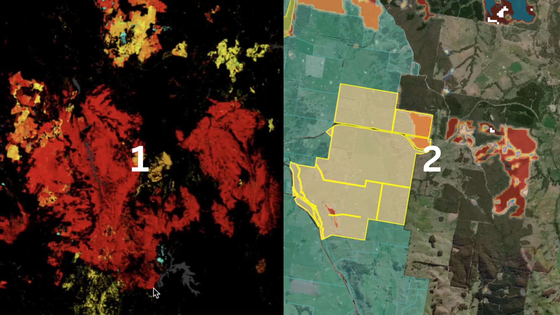
The images you see above show you the added value of accessing Global Forest Loss in DAS Portfolio.
Image #1 shows where forest has been lost in an area in rural New South Wales.
Image #2 is from DAS Portfolio. It displays the same data layer over the same rural area in NSW. However, this time it shows the portfolio impacted.
This enables organisations to answer a range of questions, such as:
1. Which of my customer properties have experienced forest loss?
2. Which properties should not be included on my prospects list if we care about forest loss?
That is just one of the reasons why geolocation is so much more than just a pin on a map.
If you want to make data more relevant to your company and its business decisions, you can map your portfolio with DAS. Watch our instant demo by filling out the form below.