

Every rural property transaction in Australia is captured by state Valuer Generals (VG), providing a critical foundation for understanding the market. But, while this information has long been available, it wasn’t designed to meet the specific needs of rural property analysis - especially since it was not available in a geospatial format.
For the rural property and valuations market, this meant there were minimal ways to support map-based analysis across regions.
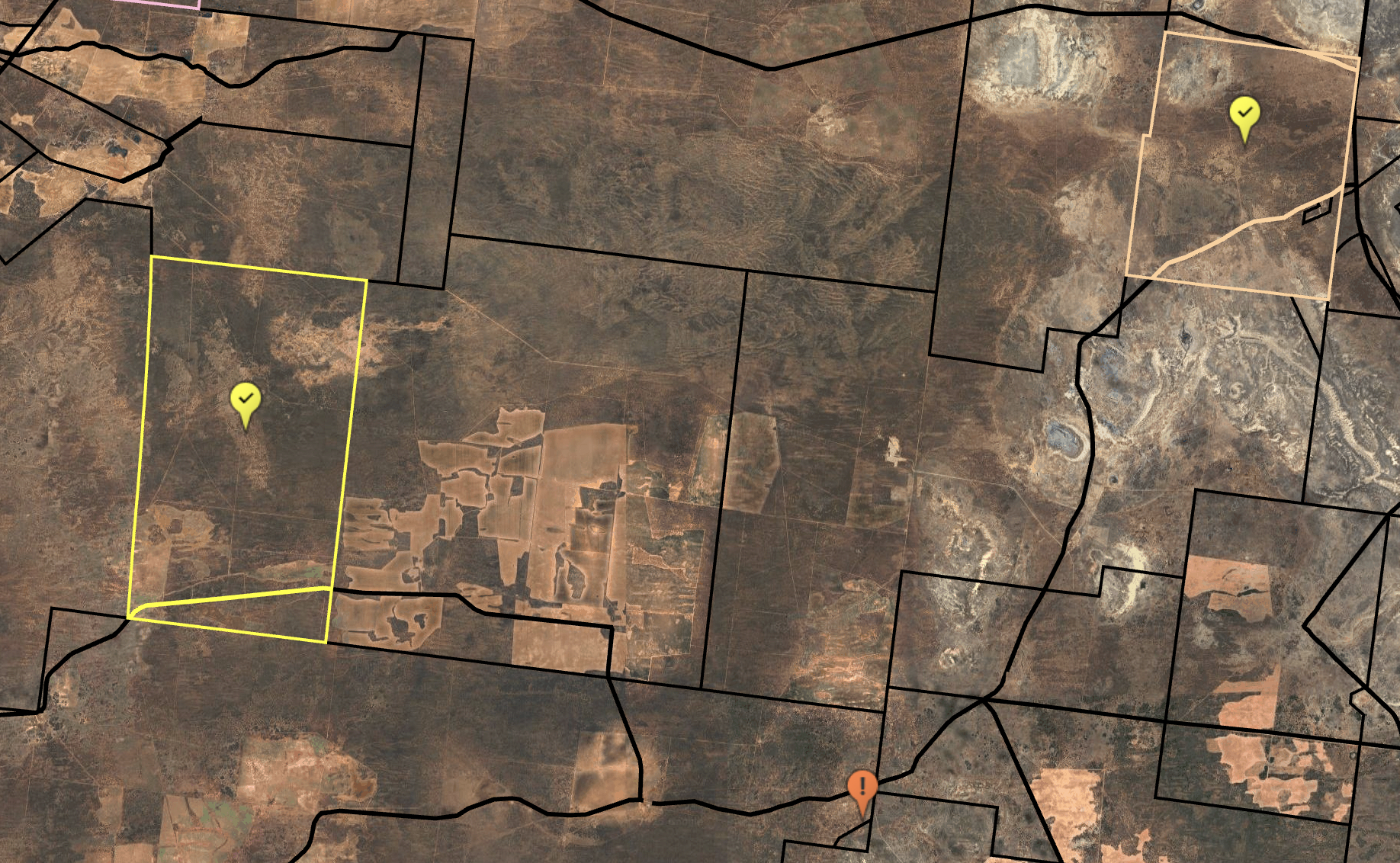
Does a National Geospatial Dataset for Rural Sales Exist In Australia?
Yes. DAS has bridged this gap by enhancing raw VG sales data into a cohesive, geospatially mapped dataset. Each transaction is spatially expressed within a property boundary—enabling accurate comparisons, aggregation, and integration with other datasets.
Building Confidence in Rural Property Intelligence
With DAS’ geospatially mapped rural sales data, users benefit from improved:
- Accuracy and trust: High-precision parcel mapping delivers reliable benchmarks.
- Consistency and comparability: Fragmented state differences are normalised into one national standard.
- Decision-ready insights: Valuers, lenders, and analysts can base decisions on a consistent, up-to-date view of the market.
- Integration: Reliable sales data can be combined with climate, productivity, and risk datasets to provide deeper insights.
Australian Rural Sales Data Is Available Now In The DAS Platform
Discover for yourself how DAS’ enhanced rural sales data supports better decisions across valuation, lending, and rural property sales. Find out more about DAS’ Rural Property product or get in touch with our team to get started.