

For summer cropping markets, timing matters almost as much as totals. So it begs the question, is it possible to remotely monitor summer crop planting activity? The answer is yes.
This season, DAS is proud to have released its first summer crop estimates in late December, earlier than ever before and well ahead of the late January to February window when early insights have traditionally emerged. The season is still unfolding, and many hectares are yet to be planted or reach the establishment threshold that satellite-based methods can detect.
What is the value or advantage in remotely monitoring summer crops?
Even at this early stage, the results provide useful context for growers, traders, insurers and analysts. Early estimates help clarify where activity is beginning to concentrate, which regions may warrant closer attention in the coming months, and how early signals compare with recent seasonal patterns.
How does DAS remotely monitor summer crop activity?
This earlier release reflects ongoing improvements in DAS crop classification. The estimates are generated using machine learning models trained on ground-truth data collected across Australia, and applied at paddock scale across major cropping regions. Each estimate is accompanied by a confidence measure to support interpretation at this point in the season.
These results are preliminary and represent the crop area currently detectable. Reported area is expected to increase in January and subsequent months as planting continues and more crops establish. DAS will continue to update its summer crop estimates through the season, refining the picture as coverage improves.
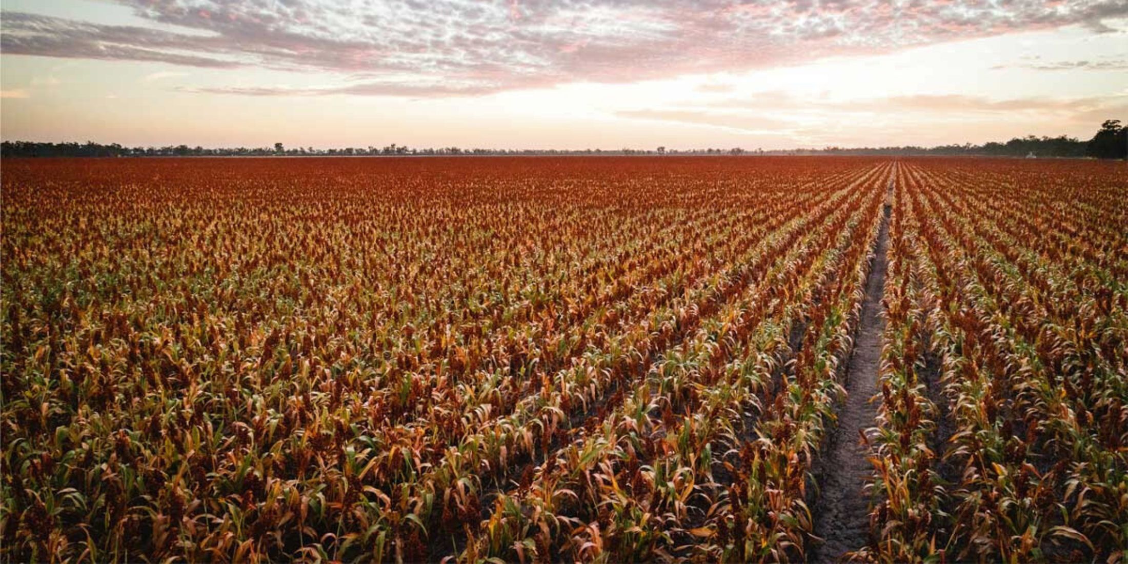
What summer crop types are monitored?
DAS remotely tracks cotton, rice, corn and sorghum, plus pasture and fallow.
Summer crop intelligence is available via DAS’ Grain Intelligence product, which combines geospatial analytics, AI and machine learning with satellite imagery and ground-truth data to map broadacre paddocks and track land-use and crop attributes over time.
How can I get started?
DAS Grain Intelligence data can be extracted, analysed and combined with other data sets to address the use cases of your organisation. First, you simply need to define your use case.
Speaking with our Earth Observations team, who created and maintain Grain Intelligence, is an excellent place to explore the questions you want answered. No one conversation we have is the same.
By meeting with us, we can help you tease out the answers you need.