

Today, DAS has released its new product DAS Embed, the simple, groundbreaking geolocation solution that lets any organisation map their customers in minutes. Embed empowers your teams or customers to precisely outline rural location boundaries within your own systems or customer portals.
Embed is an innovation born from a very real and problematic reality faced by many organisations working directly in and for the Agricultural sector.
“DAS has a long standing history of providing location intelligence solutions to the Ag sector, and while the products we provide are bringing demonstrable results to many of these clients—there is a real and very problematic gap for a lot of businesses operating in this sector. That is, a basic pin on a map is not delivering a true visualisation of the extent of their customers' rural assets or farms,” said Anthony Willmott, CEO and Co-Founder of DAS.
“This makes it tremendously difficult to drive forward with other initiatives related to climate change risk, ESG frameworks, digitisation, risk reduction or understanding growth opportunities,” he said.
“We wanted to find a way to fix the problem at the start by going directly to the source of the land information, who better to provide information about a farm than the land holders themselves?” said Sagit Shiran, Chief Product Officer at DAS.
“We had to find a way to make DAS accessible via a customers' portals for their own users. This eventually led to one of the key product features of Embed which allows organisations to embed our DAS maps into their own systems, such as front facing customer portals.”
“DAS customers choose the place where they want the mapping capability to be and from the very beginning, you will start with a full profile of property data that is provided by the customer and is detailed enough to perform future analyses and inform business decisions,” she said.
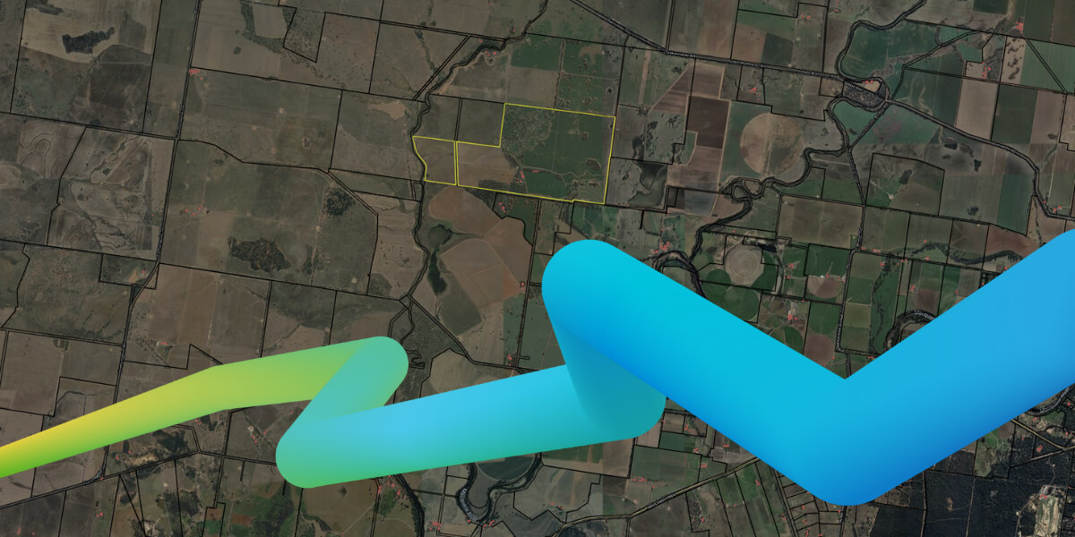
Why is correct customer geolocation so important?
Collecting a simple street address, or viewing a pin on a map doesn’t provide you with the information that matters.
DAS analysis identified that within the financial services industry “potentially billions of dollars in decisions are being made based on inaccurate or incomplete geospatial data”. This staggering figure draws much needed attention to the way businesses manage and operationalise their geospatial data.
The promise of Embed is that once you know the true extent of a customer's land information through the definition of boundaries, you can unlock supplementary information about that rural asset using DAS products, such as APIs Portfolio, Grain Intelligence and Climate Data that can be used to full potential once your business knows exactly where your customers operate.
Democratise Location Intelligence with Embed
DAS’ vision is to enable as many organisations as possible to harness the best of geospatial technology, starting with customers and teams. There is a high bar when it comes to reporting, monitoring and assessing risks related to your business operations, particularly when it comes to climate change, and DAS firmly believes that location intelligence is the way to navigate this.
“It's time to 'care about the where' when it comes to customers in the Ag industry, and Embed is the way organisations can solve the location data challenge at the very start,” said Anthony Willmott.
“We are very proud of our team who are always going the extra mile to provide value to our clients, the development of Embed is just another example of their commitment to innovation in the Agriculture sector both in Australia and abroad,” he said.
If you are looking for a geospatial solution to empower your customers and teams, and have the goal to operationalise location intelligence within your business, watch our instant demo of DAS Embed.
Need to talk to our team? Get in touch
Want to watch an Embed instant demo? Watch now